 CategoriesGeomapping LiDAR
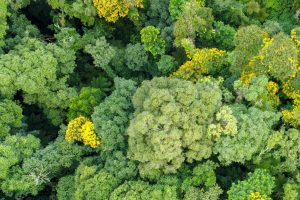
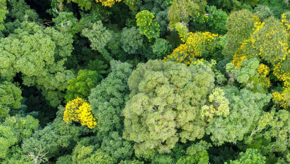
Under the Canopy: The growing role of LiDAR in Forestry
LiDAR stands out as a transformative tool, reshaping how we understand, manage, and protect our forests.
CategoriesGeomapping LiDARLiDAR stands out as a transformative tool, reshaping how we understand, manage, and protect our forests.
 CategoriesGeomapping LiDAR
Universities are at the forefront of innovation, using technology to improve knowledge and discovery.
 CategoriesGeomapping LiDAR
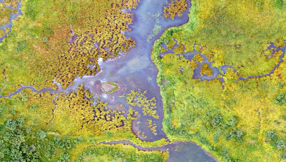
Using LiDAR to create highly accurate 3D maps of the Earth’s surface can be a valuable tool in GEO mapping.
 CategoriesCreative Geomapping LiDAR
How drones are used as a force for good Across a multitude of industries, UAVs have developed and are being used in increasingly inventive ways.
 CategoriesGeomapping LiDAR
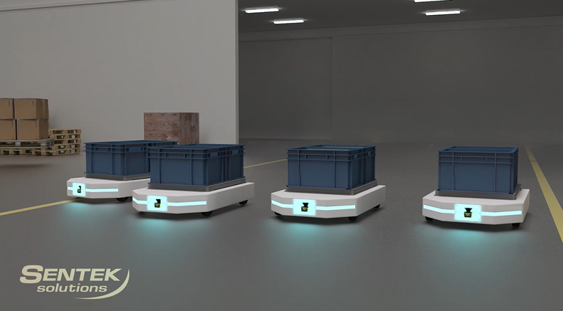
Maybe one of the most recognised examples of autonomous navigation is the driverless car. But they are only part of the story. Autonomous Guided Vehicles (AGVs) can be used in numerous ways and across many industries. LiDAR scanners enable AGVs to operate efficiently and safely. But how does it all work and how could your […]
 CategoriesGeomapping LiDAR
Sentek Solutions have worked with several customers to supply the hardware component of sophisticated mobile/handheld digital mapping solutions. Digital technology is changing the way we design, construct, and maintain our infrastructure. For engineers and surveyors, mobile mapping means that buildings or sites can be mapped more safely and quickly. Delivering significant savings in terms of […]
 CategoriesArchitecture Geomapping LiDAR
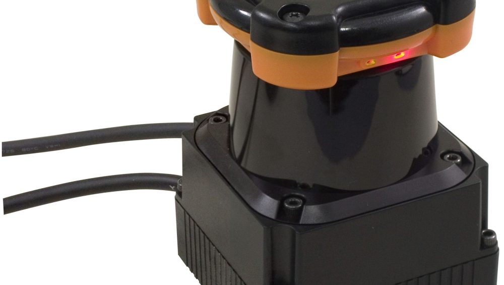
Which method of detection can benefit your application needs the best? Industrial automation and the rise of the robot continues to hit the headlines. Devices such as LiDAR scanners and radar obstacle detectors are making this automation possible, but which one suits your application needs the most? Read this blog to find out more about […]
 CategoriesGeomapping
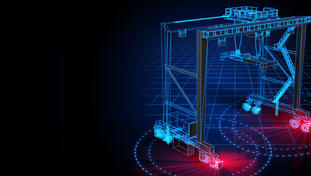
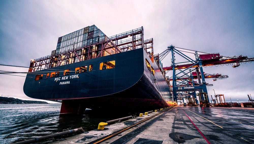
Outdoor LiDAR technology – A must for port automation? Supply chain problems have once again been hitting the headlines, as shipping containers stack up in ports around the world. Labour issues, an increasing consumer demand and growing ship sizes, have all resulted in congestion in our ports. But, as the capabilities of LiDAR technology grow, […]