Hokuyo LiDARs are the driving force behind the GEO sector
Sentek Solutions have worked with several customers to supply the hardware component of sophisticated mobile/handheld digital mapping solutions. Digital technology is changing the way we design, construct, and maintain our infrastructure. For engineers and surveyors, mobile mapping means that buildings or sites can be mapped more safely and quickly. Delivering significant savings in terms of man power and time.
Before these solutions became available creating accurate dimensional interpretations of 3D spaces (especially irregular ones) was almost impossible or at the worst extremely expensive and time consuming.
And it’s not just the engineering and construction sectors that are benefitting from this new technology. These solutions are also being used in mining, agriculture and forestry.
Most mine environments are hazardous, and mining professionals need to work in tight, enclosed spaces, where GPS coverage is non-existent. Mobile mapping devices allow accurate measurement of underground or open cast excavations facilitating a safer, more efficient and cost-effective approach.
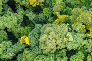
Globally projects are underway to track tree growth, optimise fruit yields and guide ecological forestry management. Here GPS assisted geospatial mapping is an invaluable tool.
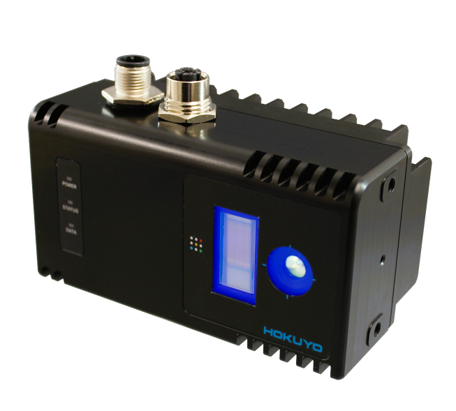
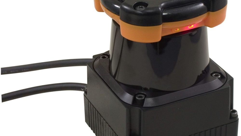
The work horse component in many of the market leading mobile mapping solutions is the Hokuyo UTM-30LX a small and light 30m two-dimensional LiDAR which provides critical distance data.
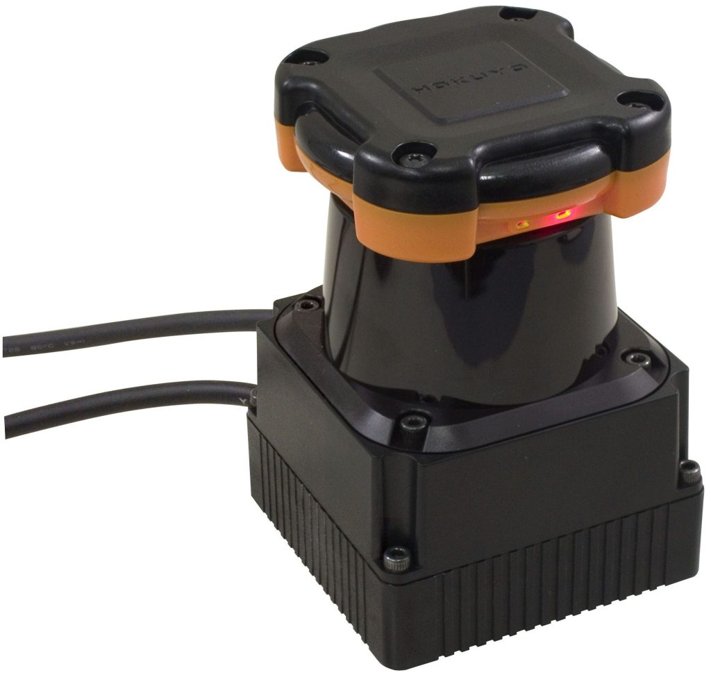
The UTM-30LX: The power house of mobile mapping
Capturing 2D data and accurately ‘layering’ it up to form a 3D ‘point cloud’ involves multiple sensor inputs, clever algorithms and significant computational power. Doing all of this and packaging it into a user-friendly solution is delivered by our innovative customers.
We believe the availability of the Hokuyo LIDAR range particularly the UTM-30LX family has been transformational in this this sector.
Thanks to these ground-breaking solutions information previously only available to those with very deep pockets is now more accessible, optimising processes, improving safety and delivering efficiencies across the board.
Imagine you can now accurately map a three-storey building in less than an hour!
If you have a transformational idea which could use our technology, please give us a call or drop us an email.
Stay up to date with all of our LiDAR news and developments by following our Twitter here.

