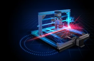
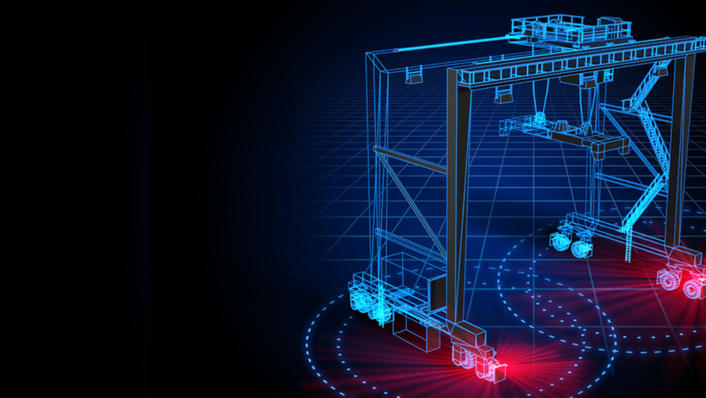
 CategoriesArchitecture Geomapping LiDAR
LiDAR or radar?
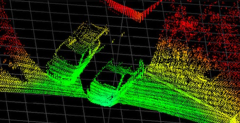
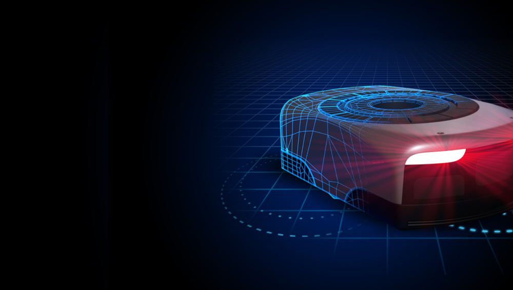
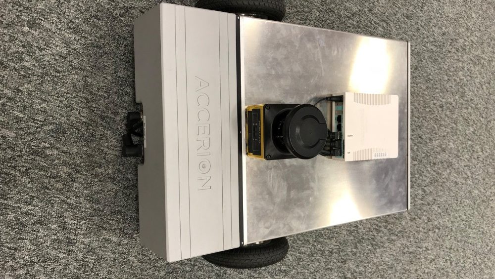
Which method of detection can benefit your application needs the best? Industrial automation and the rise of the robot continues to hit the headlines. Devices such as LiDAR scanners and radar obstacle detectors are making this automation possible, but which one suits your application needs the most? Read this blog to find out more about […]