The Use of Drones
How drones are used as a force for good
Across a multitude of industries, UAVs (unmanned aerial vehicles) are being used in increasingly inventive ways. The global Coronavirus pandemic has thrown up new challenges for us and UAVs or nowadays more often called drones have been the answer to some of them. How do you provide essential food and medical supplies to communities who are locked down, for example? Following a natural disaster, such as an earthquake, a drone can be used to assess affected areas, locate injured people, and deliver supplies. As the capabilities of drones grow beyond that of a human, how can drones be used as a force for good?
Examples of drone use in industry
Here are some ways that drones are being set to work both inside and outside.
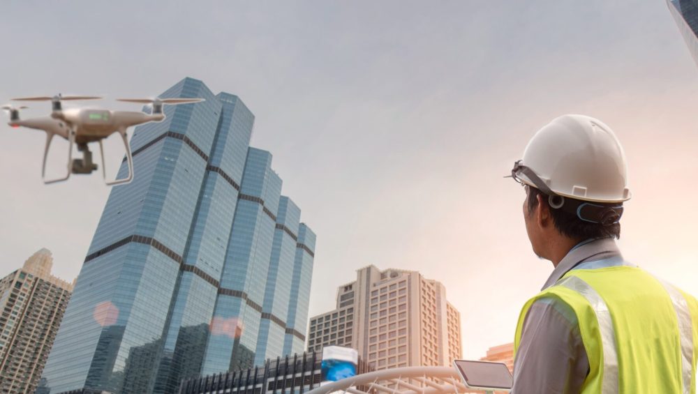
Inspection of equipment – Imagine having to send workers up to the top of a wind turbine to check that it is in good working order and is safe to use. The level of risk to workers can be reduced by using a drone to inspect the wind turbines first. If damage or a potential problem is detected from the images taken by the drone, workers can be sent up to perform the necessary repairs.
Our client Sulzer & Schmid is a global innovator in wind turbine inspection. Their autonomous drones capture a 360° field of view of the blades and offer a fully transparent view of the blade health status of entire wind turbine fleets. In combination with an AI-powered platform, their technology helps capture and analyse blade health data to optimise operational and maintenance performance of wind farms.

A Sulzer & Schmid autonomous drone inspecting a windfarm in Sweden
Similarly, drones have been used to carry out maintenance inspections of airplanes, within nuclear compromised areas and even inside power station cooling towers.
Shipping – As Brexit and the temporary blocking of the Suez Canal showed, goods can pile up all too quickly. A port can be vast, with thousands of containers flowing in and out each day. Using a drone to survey the whole site allows for bottlenecks to be seen quickly and determine where extra resources need to be deployed.
Maersk have also trialled using drones to take supplies to big ships, rather than using smaller ships to travel out and restock them.
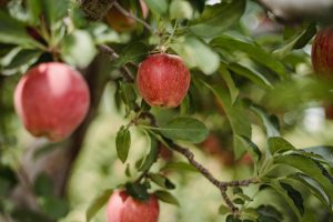
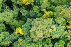
Agriculture and forestry – In areas ravaged by forest fires, drones can be used to help reseed large areas of trees and grassland. Drones can also monitor fires as they start, so that fire crews can be called into action. Additionally, they are being employed to place temperature / humidity sensors within the treetops to provide forewarning of ignition conditions.
Mining – Drone technology has enhanced a diverse range of mining activities, such as stockpile / slag pile management. Mining companies are now able to use drones in underground mines to monitor and inspect deep shafts or other hazardous areas, making them safer for miners to work within.
Plus, by employing drones and a drone pilot for aerial mapping and surveillance, instead of a piloted plane, it saves around 90% of the cost per hour.
Mapping – Geospatial mapping is incredibly useful in land management. Essentially, users take raw measurement data from a device and manipulate this information to create highly accurate point clouds, in 3D format.
This information can be used when areas are difficult or dangerous to access or for archaeological / urban planning purposes where an accurate digital perspective is invaluable.
The technology making it happen
So, whether it is inside or outside, drones can have a positive impact on our lives.
LiDAR scanners within drones
For drones to be able to successfully perform many of the tasks mentioned above, they need to be fitted with LiDAR scanners. Employing LiDAR scanners within drones is beneficial in so much as they anonymise gathered information because they only determine that a person / object is present whereas camera-based information allows identification of that person, thereby raising ethical questions.
The lightweight UST-30LX scanner is ideal for all types of applications, where data filtering of dust, fog, and rain are required due to its multi-echo-technology. Similarly, the Hokuyo UTM-30LX-FEW can be used with drones. It is equipped with a high specification motor, which delivers an exceptional scan speed of 100Hz. Data is then easily processed via an Ethernet connection.
For richer data, longer range and finer resolution, 3D scanners can be used, such as the Quanergy M8 series. The M8-Core for example features a measurement range of 100m across 360° (horizontal) by 20° (vertical) field of view. The Quanergy M8 series simultaneously scans eight horizontal layers creating a 3D point cloud.
Remember the strength of using a drone is that it can be accurately manoeuvred into places inaccessible to land anchored equipment, therefore lightweight Hokuyo LiDARs are ideal for inspection purposes where the drone can get as close to a structure as possible, whilst the longer range 3D Quanergy devices are perfect for mapping applications.
How will drones be used in the future?
There are countless ways in which drones can be used. And as technology develops further, these sensors will allow drones to do even more. As with all technology, it needs to be used correctly and there will be ethical challenges for increased drone usage. But, with the possibility of drones making industry safer for workers, and their ability to help us in our fight to protect our planet, drone usage seems set to increase.
How have you been using drones in your business? We would love to hear from you.
You can browse our entire selection of LiDAR scanners here. And stay up to date with all of our news and product developments by following us on LinkedIn or Twitter.