The Evolution of LiDAR Technology
LiDAR, short for Light Detection and Ranging, is a technology that has witnessed a remarkable evolution over the years. From early beginnings to its current role in shaping the future of autonomous vehicles, environmental science, and countless other fields, LiDAR has come a long way.
Here, we embark on a journey through time to explore the fascinating evolution of this technology and its transformative impact on various industries.
The Birth of LiDAR
LiDAR technology can trace its origins back to the early 1960s when laser technology was in its infancy. Researchers sought to explore methods of measuring distances accurately using laser light. The result was the creation of LiDAR’s predecessor, LIDAR – Light Imaging Detection and Ranging (note the uppercase I for ‘Imaging’), which used laser pulses to measure the distance between the sensor and an object.
Early Systems
The first LiDAR systems were large, cumbersome, and expensive, and were primarily used in military applications. These early systems operated on the principle of time-of-flight, where they measured the time it took for a laser pulse to bounce off an object and return to the sensor. The technology had its limitations, as it was often slow and inaccurate, and therefore impractical for many applications.
Advancements in Laser Technology
The evolution of LiDAR technology closely paralleled the advancement of laser technology. Smaller, more powerful and less expensive lasers became available, making LiDAR systems more efficient and practical. Continuous wave lasers, provided a constant laser beam, reducing the need for pulsing and allowing for more precise measurements.
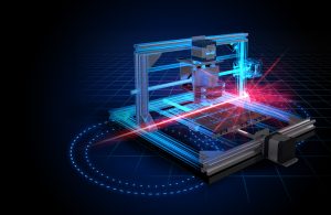
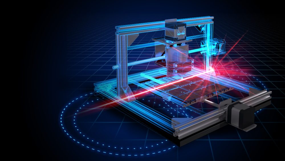
The Emergence of Scanning LiDAR
One of the key milestones in the evolution of this technology was the development of scanning LiDAR systems. These systems featured a rotating mirror or prism to direct the laser beam in multiple directions, creating a 2D map / 3D point cloud of the environment. Scanning LiDAR significantly improved the speed and accuracy of data collection, making it suitable for a much broader range of applications.
LiDAR in Remote Sensing and Topography
As the technology continued to mature, its applications expanded into the field of remote sensing and topography. LiDAR-equipped aircraft and satellites began creating high-resolution topographic maps, helping scientists and government agencies to monitor natural landscapes, improve urban planning, and assist in disaster response. The ability to capture detailed terrain data revolutionised these fields, making key tasks more efficient and accurate.
Automotive
The real breakthrough for this technology came with its adoption in the automotive industry. The pursuit of self-driving vehicles required a technology capable of perceiving and mapping the environment with a high degree of accuracy. LiDAR, with its ability to create detailed 3D maps of surroundings, emerged as a critical component in autonomous vehicle development. Early automotive systems were large and expensive, restricting their use to research and development projects. However, as technology improved, LiDAR sensors became smaller, more affordable, and reliable. This shift made it possible for automotive companies to integrate it into their self-driving vehicle and unmanned customer transportation platforms.
Solid-State LiDAR
A significant advancement is the development of solid-state LiDAR. Traditional systems use mechanical components to rotate the laser beams, with higher potential for wear and tear. Solid-state LiDAR eliminates these moving parts, relying on electronic beam steering, which not only enhances durability but also reduces the cost of manufacturing and maintenance.
The future of LiDAR technology systems is filled with optimism. Several key trends are shaping the evolution of this interesting technology:
Miniaturisation: LiDAR sensors are becoming smaller and more compact, enabling integration into a wider range of devices, from smartphones to drones.
Cost Reduction: Advances in manufacturing techniques are driving down the cost of sensors, making them more accessible for various industries.
Improved Range and Resolution: Ongoing research and development efforts are focused on enhancing the range and resolution of systems, allowing them to capture more detailed and expansive data.
Application Diversification: The technology is finding applications in fields like healthcare, urban planning, and even entertainment, creating new opportunities for its utilisation.
Integration with other Technologies: LiDAR is increasingly being combined with other sensor technologies, such as cameras and radar, to create more comprehensive and robust perception systems.
Conclusion
The evolution of LiDAR technology systems is a testament to human ingenuity and the relentless pursuit of innovation.
From its humble beginnings in the 1960s as a niche technology, LiDAR has now become an indispensable tool in a wide range of applications. Its role in the development of self-driving cars and its contributions to fields like environmental science and urban planning are just a few examples of its transformative impact.
As we move forward, the future promises even greater advancements. With continued miniaturisation, cost reduction, and improvements in range and resolution. LiDAR will continue to shape the way we interact with our world, enabling safer, more efficient, and more sustainable solutions for a multitude of challenges.
LiDAR has come a long way, and its journey is far from over. With each new breakthrough, this technology pushes the boundaries of what is possible, unlocking new opportunities and applications.
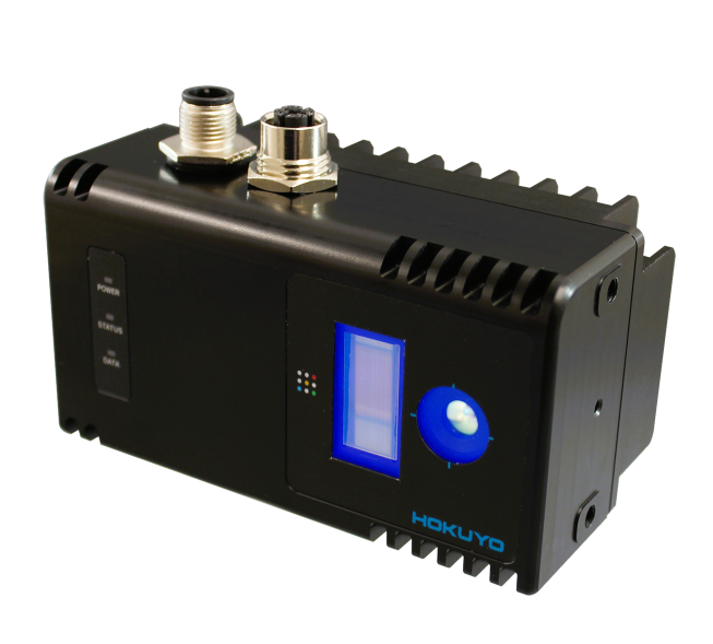
We have several LiDAR sensors that can be used across a wide range of industries. You can find out more about our full selection of LiDAR scanners here. And make sure to stay up to date with all our news, insights and product developments by following us on LinkedIn and X.